

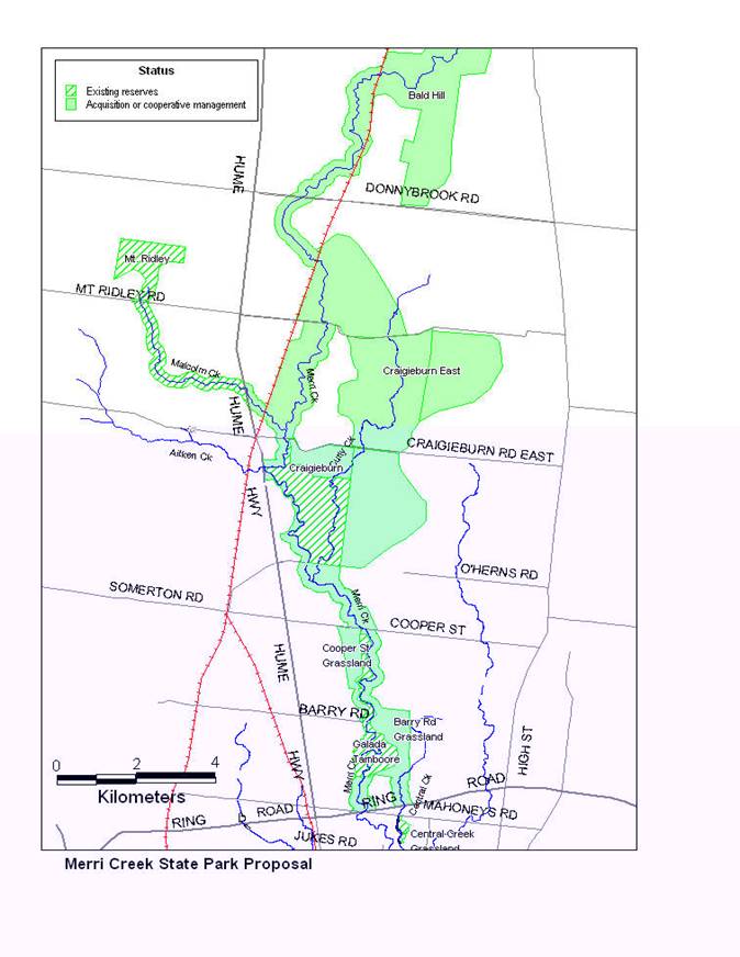
Projects related to Water resourcesSome ideas for linking to maths to geography and environment using the 'image and cursor' applicationMerri CreekMerri Creek runs through the suburbs of Melbourne and into the Yarra. It is near one of our project schools. This school is considering an integrated project around issues related to the creek. The map used in these sample activities was obtained from the Friends of Merri Creek website at www.vicnet.net.au/~fomc and is used with their permission. Idea 1Click here to see Robyn's two exercises: Merri Creek Length in the drainage basin and Distances along Merri Creek. The first file allows data to be outputted to a spreadsheet. (If you want to use these exercises on your own computer, you need to download merricreek_files.zip, which contains the four files required to view this excercise.) Alternatively, you can right click on Merri Creek Length in the drainage basin and save to the desktop, right click on Distances along Merri Creekand save to the desktop, right click on Image and Cursor and save to the desktop and right click on park map and save to the desktop. Then put all four files in one folder, open it and click on either of the html pages to start the application.
|